Crystal Dome of Russia
The Valdai National Park was created in order to preserve the unique lake and forest complex of the Valdai Upland and to create conditions for the development of organized recreation in this area.
The National Park is located in the northern part of the Valdai Upland, its length from north to south - 105 km, from west to east - 45 km. The borders of the Park roughly correspond to the boundaries of the watersheds of lakes Borovno, Valdai, Velie, Seliger, and the upper reaches of the Polomet River.
The Valdai National Park is one of the largest specially protected natural territories of the European part of Russia. It aims to preserve lake and forest landscapes, biological diversity and numerous historical and cultural monuments in the northern part of the Valdai Upland - the main watershed of the Russian Plain and one of the six most important watersheds on the global scale.
The Park occupies an area of 159.1 thousand hectares within three districts of the Novgorod region: Valdai, Demiansky and Okulovsky. The boundaries of the Park do not include the lands of urban and rural settlements, joint-stock companies, recreation centers and rest houses, other users and owners.
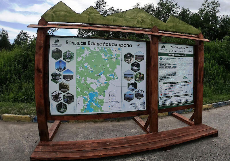
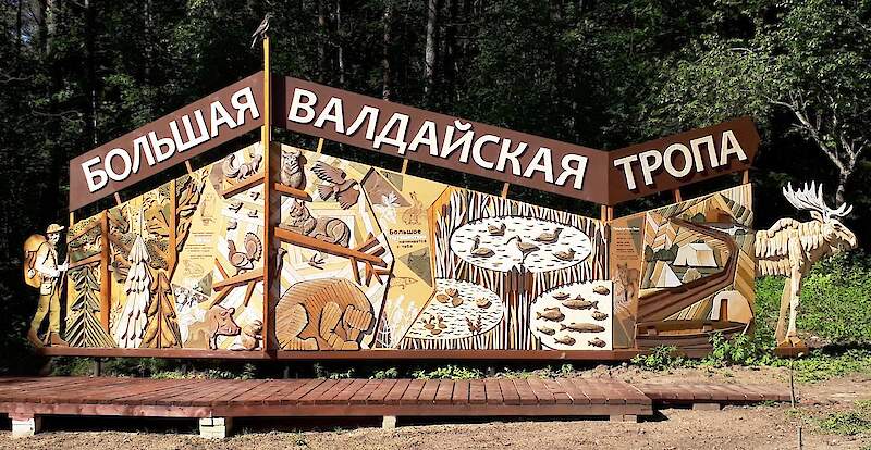
The Great Valdai Trail
- Purpose: active recreation, improvement of ecological culture
- Difficulty: suitable for all tourists with no health problems.
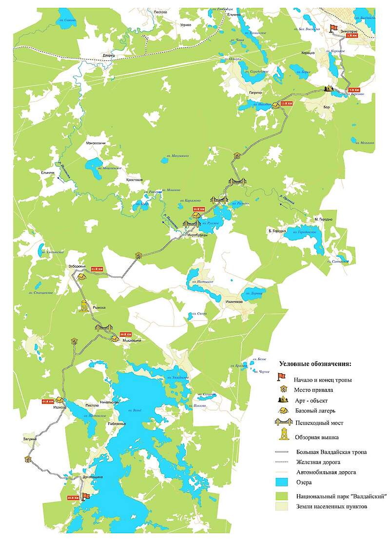
- Destination: from the town of Valday to the v. Dunaevschina / v. Burakovo (Demyansky district).
- Features: the central part of the route passes through the territory of the specially protected zone of the national park "Valdaysky"
- Length: 59 km
- Travel time: 5 days.
- The average length of the day trip: 12 km
- The level of comfort: equipped base camps with tents for overnight stay, resting places, bridges, ladders, flooring in difficult passages, information boards, observation points, navigation.
- Preparation: full autonomy without the possibility of re-supply for 5 days.
- Safety: emergency descents every 10 km.
- Warning: partial cell phone coverage.
We tried to make your trip as comfortable as possible:
- The route is equipped with intuitive navigation system: signposts, marking posts.
- Base camps are equipped with everything necessary for bivouac.
- In between the base camps there are parking places for camping.
- Interactive thematic stands, QR codes with additional information will make your trip more informative.
Exhibition Fairground
Participating with:


